 FloodRadar
Log inCreate free account
FloodRadar
Log inCreate free account
FloodRadar
Log inCreate free account
FloodRadar
Log inCreate free account
Loading rainfall and weather data...
Official Environment Agency warnings issued since 2006 for the 6 flood areas linked to this gauge (nearest 0.6 km away).
Most recent flood warning: 15 Dec 2025 — River Yealm at Yealmbridge and Yealmpton
| Year | Severe | Warnings | Alerts |
|---|---|---|---|
| 2026 | 0 | 0 | 7 |
| 2025 | 0 | 4 | 24 |
| 2024 | 0 | 0 | 25 |
| 2023 | 0 | 2 | 21 |
| 2022 | 0 | 2 | 15 |
| 2021 | 0 | 0 | 10 |
| 2020 | 0 | 2 | 18 |
| 2019 | 0 | 0 | 20 |
| 2018 | 0 | 3 | 13 |
| 2017 | 0 | 0 | 4 |
| 2016 | 0 | 1 | 15 |
| 2015 | 0 | 0 | 15 |
| 2014 | 0 | 10 | 15 |
| 2013 | 0 | 1 | 24 |
| 2012 | 1 | 7 | 31 |
| 2011 | 0 | 0 | 8 |
| 2010 | 0 | 0 | 4 |
| 2009 | 0 | 0 | 7 |
| 2008 | 1 | 1 | 12 |
| 2007 | 0 | 1 | 7 |
| 2006 | 0 | 0 | 3 |
Warnings apply to a whole flood area, not necessarily this exact spot. Years before 2006 aren't covered by the EA's historic record.
Loading nearby stations...
Geographic coordinates may reflect the access point for the gauge, and not the precise location in the watercourse that it is taking readings from.
Your catchment is all the land that drains rainfall into the river above this gauge. Its character — how steep, wet, wooded, urban or chalky that land is — decides how fast rain here turns into a rising river. A steep, bare or clay catchment is “flashy” (rises and falls quickly, floods easily); a flat, chalk or well-wooded one is slow and steady. The tiles below put numbers to that; the flow-duration curve reads left-to-right from the river’s typical high flows (Q5) down to its low flows (Q95) — a steep curve means a flashy river.
The physical character of the land that drains to this gauge, and how it shapes its flood response — from the National River Flow Archive (UKCEH).
Flow affected by: public water supply, effluent returns, industrial / agricultural abstraction.
Gauging-station photographs from the National River Flow Archive (UKCEH).
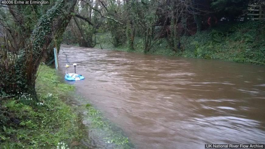 26 Jan 2016 1.0m Looking US from weir
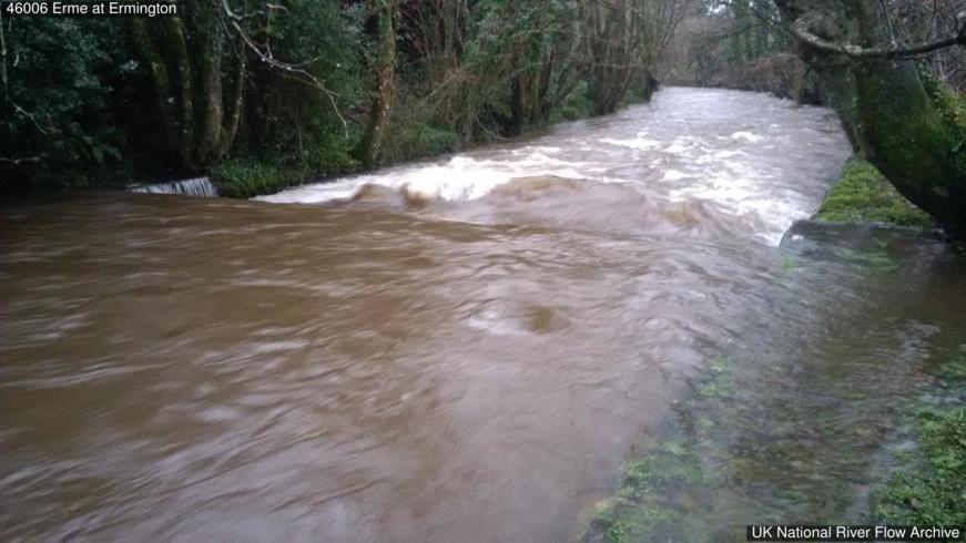 26 Jan 2016 1.0m Weir
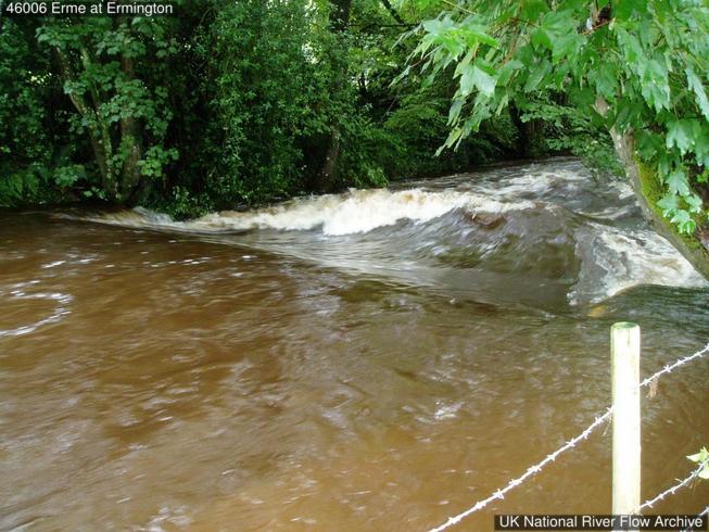 7 Jul 2008 1.1m Weir and view DS
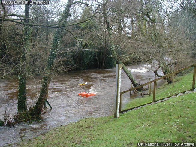 15 Jan 2008 Looking downstream from RHB. SG 1.45m
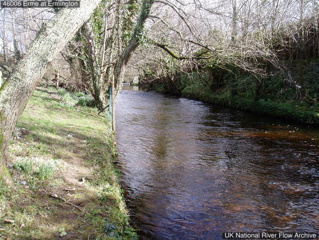 10 Mar 2006
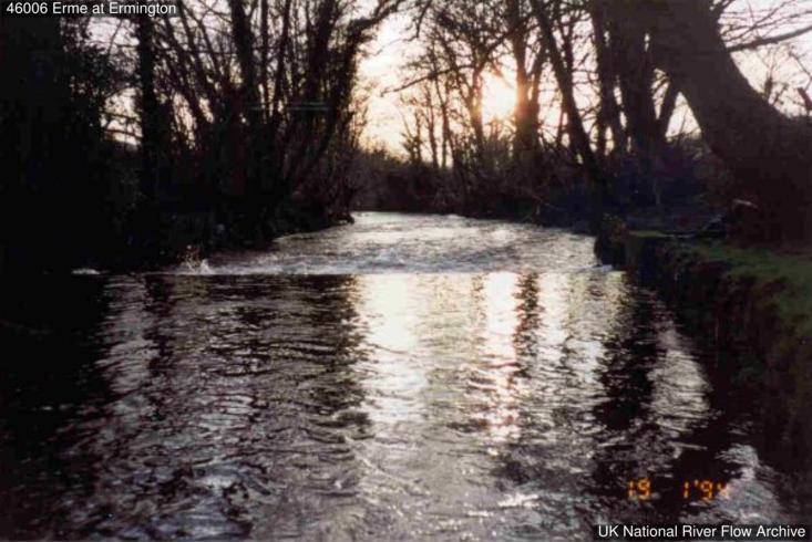 19 Jan 1994 Looking DS over weir
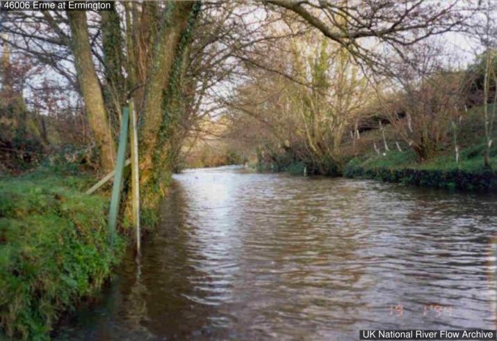 19 Jan 1994 Looking upstream. RHB SG.
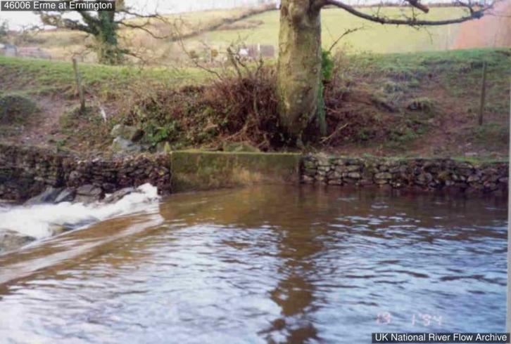 19 Jan 1994 Weir and RHB.
Photos © NRFA / UKCEH & the measuring authority — shown at web resolution. Full gallery on the NRFA ↗
Velocity area station with cableway and Flat V control.
Descriptions from the National River Flow Archive (UKCEH). NRFA station record ↗
How this gauging station is built and how long it has measured (NRFA / UKCEH).
The latest recorded level is 0.55m. Compare it with the recent history on the chart above to judge whether levels are unusually high.
Based on the most recent readings, the level is currently rising. The chart above shows the last 12 hours of measurements by default (up to 7 days), updated roughly every 15 minutes.
Readings are supplied by the Environment Agency gauge. FloodRadar checks for updates roughly every 15 minutes; the timestamp above shows how recent the latest available reading is.
Free live river-level widget — ideal for parish councils, angling clubs and local sites. Updates automatically.
Postcodes within 5 km with properties in the Environment Agency’s rivers-and-sea flood-risk bands:
FloodRadar helper · beta