 FloodRadar
Log inCreate free account
FloodRadar
Log inCreate free account
No property in an EA risk band
No property in B14 4NZ appears in the Environment Agency's rivers-and-sea flood-risk dataset. That dataset covers one of five flood sources. It is area-level, it covers rivers and the sea only, and it is never proof a place cannot flood — surface water, groundwater, sewers and reservoirs are assessed separately. See the at-risk postcodes in B14 or get the full picture below.
B14 4NZ gets about 800 mm of rain a year on average (wettest month October, 79 mm; driest March, 54 mm). That is 31% drier than the UK as a whole, which averages 1,163 mm a year.
A thirty-year average for the surrounding area, not a measurement at this address and not a flood risk on its own: a dry area floods when a storm sits over it, and a wet one may drain away perfectly well. Source: Met Office HadUK-Grid 1991–2020 (5 km grid), 1.6 km away. Average rainfall: HadUK-Grid v1.3.2, Met Office. Contains public sector information licensed under the Open Government Licence v3.0.
The nearest watercourse on the river map is Stratford-upon-Avon Canal (a canal), about 790 m from the centre of B14 4NZ.
A gauge downstream shows water that has already passed this point; one upstream sees it first. Distances along the river are from the point on Stratford-upon-Avon Canal nearest the centre of B14 4NZ. From Ordnance Survey’s river map (OS Open Rivers), which leaves out small streams, ditches and culverts, so a nearer one may exist. This describes where water goes on the map; it says nothing about flooding at any address. Contains OS data © Crown copyright and database rights 2026.
Because 1 recorded flood outline mapped nearby; 381 official warnings since 2006.


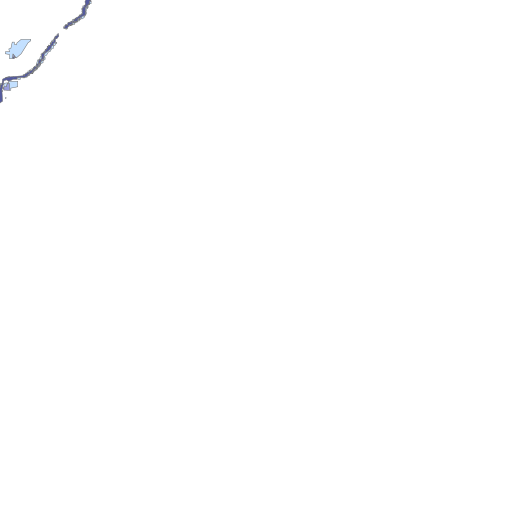
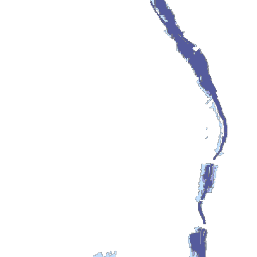

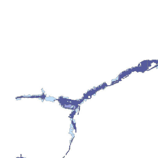
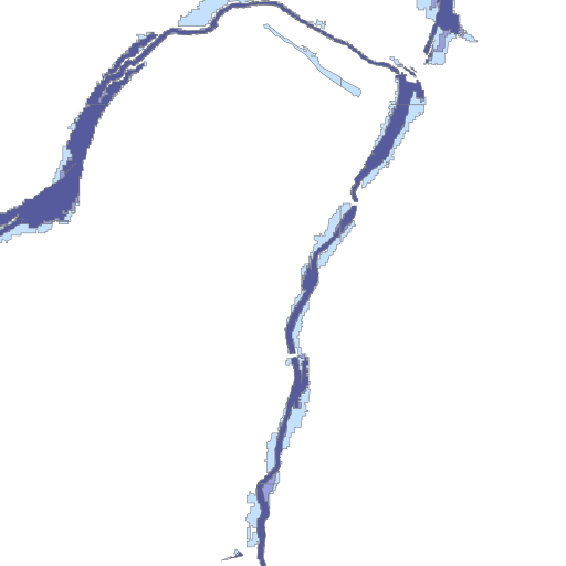
The map above shows the real EA rivers & sea likelihood cells around B14 4NZ. The small panels are illustrative previews of the report's per-layer map views — the full report draws each layer for real, plus recorded extents, defences and a building picker on an interactive map.
Warnings cover flood areas, not individual addresses.
| Date | Mapped flood extent | Approx. distance |
|---|---|---|
| Jan 1985 | M_LS_Jan_1985 | ~25.2 km |
These are extents the Environment Agency has mapped, not a list of every flood. Records, not floods: no outline on the record is not evidence a place has not flooded. The full report tests whether any extent covered the exact spot.
Babet (2023, 15 warnings nearby) ▶ replay it here · Dennis (2020, 8 warnings nearby) ▶ replay it here · Darragh (2024, 4 warnings nearby) ▶ replay it here · Henk (2024, 4 warnings nearby) ▶ replay it here
| Gauge | River | Distance | Typical high | Highest on record |
|---|---|---|---|---|
| Solihull Lodge | River Cole | 1.9 km | 0.42 m | 1.93 m |
| Selly Park | River Rea | 4.0 km | 1.10 m | 1.82 m |
| Cheswick Green | River Blythe | 5.4 km | 0.55 m | 1.73 m |
| Calthorpe Park | River Rea | 6.1 km | 0.42 m | 2.50 m |
Live levels, predictions and rain-response behaviour are on each gauge's page and in the property report.
| Overflow | Discharges into | Distance | Spills | Hours |
|---|---|---|---|---|
| Cocks Moors Woods Golf Course Cso | Chinn Brook | 1.0 km | 31 (2025) | 48 |
| Alcester Road South Cso | Chinn Brook | 1.1 km | 4 (2025) | 17 |
| Bayston Road Cso | Chinn Brook | 1.2 km | 40 (2025) | 14 |
| Yardley Wood Road Cso | Chinn Brook | 1.2 km | 0 (2025) | 0 |
Official annual EDM figures — a water-quality signal for local watercourses, not a property flood-risk factor.
No mapped flood-defence assets within 500 m of the postcode centre. Defences reduce risk, never remove it.
The interactive flood-risk map with a building picker (your exact house, not the postcode), the 2050s climate view, surface-water and planning flood zones at your building, exact recorded-flood distances, year-by-year warning charts, watercourses including culverted streams, an insurance outlook with the Flood Re rules, and a printable document with every dataset receipt — start with the free preview, unlock for £19.
Flooded here before? Log it and see what your floods had in common.
At-risk postcodes near B14 4NZ — all in the B14 district.
© Environment Agency copyright and/or database right 2025. All rights reserved. Some features of this map are based on digital spatial data from the Centre for Ecology & Hydrology, © NERC (CEH). © Crown Copyright and Database Rights 2025 OS AC0000807064. This product is produced in part from PAF® and Multiple Residence Data, the copyright in which is owned by Royal Mail Group Limited and/or Royal Mail Group plc. All rights reserved. Licence number AC0000807064. Recorded Flood Outlines and warning history © Environment Agency copyright and/or database right 2025. Storm-overflow figures: EA Event Duration Monitoring (England); live overflow status © the water companies, incl. Dŵr Cymru Welsh Water and Scottish Water. Flood defences © Environment Agency (OGL v3). This page summarises public area-level data — it is not a flood-risk survey and not a substitute for the official GOV.UK service. All data sources & licences. More postcodes: the B14 district.