 FloodRadar
Log inCreate free account
FloodRadar
Log inCreate free account
Get notified about Ewen — tick as many as you like, they all share the notify settings below.
Each one is saved as its own alert — pause or remove them individually any time.
Not an emergency service — if in danger call 999. Alerts rely on EA/SEPA/NRW data and are best-efforts. Terms
Flood predictions aren't generated for lock / structure gauges — their levels are driven by gate operation, not by catchment rainfall, so the forecast models would have no skill here.
Geographic coordinates may reflect the access point for the gauge, and not the precise location in the watercourse that it is taking readings from.
Gauges connected to this river, and others nearby. A distance “by river” follows the river on the map; any other is in a straight line.
Distances by river: OS Open Rivers. Contains OS data © Crown copyright and database rights 2026.
None of the storm overflows FloodRadar holds is traced upstream of this gauge on the mapped river network. That is not the same as none: the map leaves out many small streams and culverts, so an overflow it cannot place may still drain here, and not every company publishes every overflow. Those nearby are listed below.
Within 6 km in a straight line, but the river map cannot say whether their water passes this gauge.
These are the water companies' monitor statuses; a spill does not by itself explain a change in the gauge level. River connections and distances are traced on OS Open Rivers (edition 2026-10), which leaves out many small channels. Sewage & storm overflows →
Contains OS data © Crown copyright and database rights 2026.
Loading rainfall and weather data...
This gauge rarely reaches its typical high of 0.99 m: 0 days since 2017. This year so far: 0 days.
Counted from each day's highest reading. Days with missing or implausible readings are left out.
Official Environment Agency warnings issued since 2012 for the 8 flood areas linked to this gauge (nearest 0.6 km away).
Most recent flood warning: 24 Nov 2024 — Swill Brook below Oaksey
| Year | Warnings | Alerts |
|---|---|---|
| 2026 | 0 | 25 |
| 2025 | 0 | 5 |
| 2024 | 1 | 6 |
| 2023 | 6 | 8 |
| 2022 | 0 | 1 |
| 2021 | 0 | 2 |
| 2020 | 3 | 2 |
| 2019 | 1 | 1 |
| 2016 | 0 | 1 |
| 2014 | 0 | 1 |
| 2012 | 5 | 3 |
Warnings apply to a whole flood area, not necessarily this exact spot. Years before 2006 aren't covered by the EA's historic record. See also the Ewen flood history.
Flood warnings and alerts are issued for whole areas. These are the 8 areas linked to this gauge, nearest first.
Your catchment is all the land that drains rainfall into the river above this gauge. Its character — how steep, wet, wooded, urban or chalky that land is — decides how fast rain here turns into a rising river. A steep, bare or clay catchment is “flashy” (rises and falls quickly, floods easily); a flat, chalk or well-wooded one is slow and steady. The tiles below put numbers to that; the flow-duration curve reads left-to-right from the river’s typical high flows (Q5) down to its low flows (Q95) — a steep curve means a flashy river.
The physical character of the land that drains to this gauge, and how it shapes its flood response — from the National River Flow Archive (UKCEH).
Flow affected by: groundwater abstraction.
Gauging-station photographs from the National River Flow Archive (UKCEH).
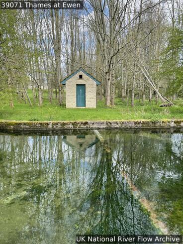 23 Apr 2023 Section across weir. Stage 0.644m. Weir drowned out.
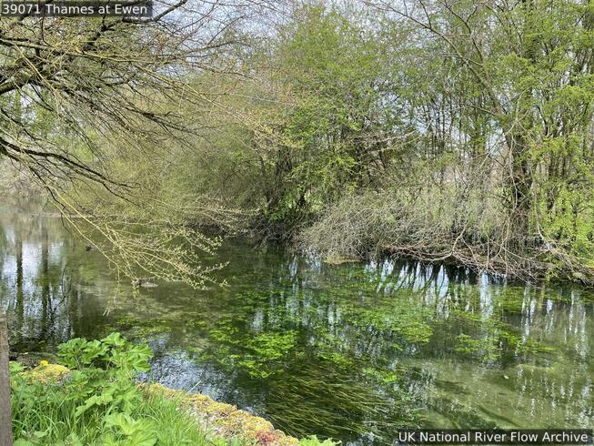 23 Apr 2023 Looking upstream of station. Stage 0.66m.
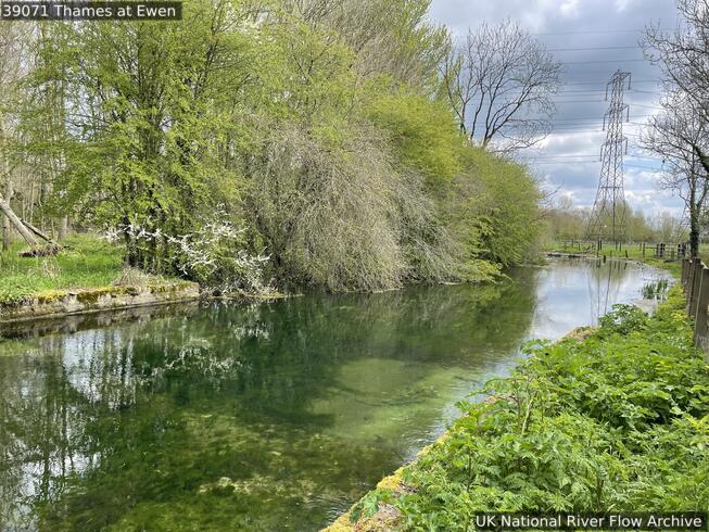 23 Apr 2023 Looking downstream of station. Stage 0.66m.
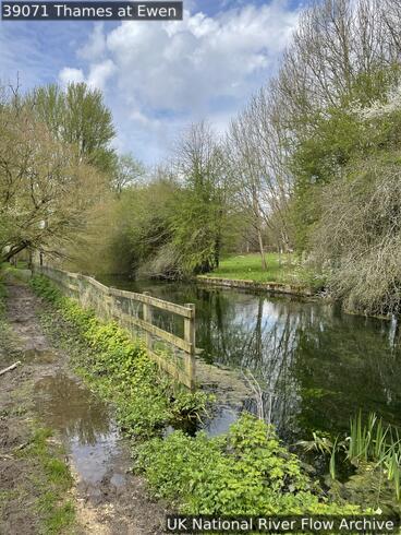 23 Apr 2023 Weir between fence and wall. Stage 0.66m. Weir drowned out.
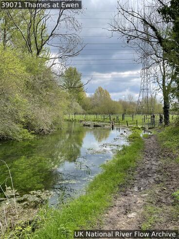 23 Apr 2023 Looking downstream of station. Stage 0.66m. Some out of bank.
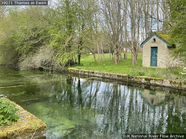 23 Apr 2023 Weir and gauging station. Stage 0.6mm. Weir drowned out.
Photos © NRFA / UKCEH & the measuring authority — shown at web resolution. Full gallery on the NRFA ↗
Flat-V weir. It is the nearest gauging station to the source of the Thames.
Descriptions from the National River Flow Archive (UKCEH). NRFA station record ↗
How this gauging station is built and how long it has measured (NRFA / UKCEH).
The current level is 0.11m, which is within the typical range of 0.00 to 0.99m. Flooding is unlikely at this level.
Based on the most recent readings, the level is currently steady. The chart above shows the last 12 hours of measurements by default (up to 7 days), updated roughly every 15 minutes.
The typical range at this station is 0.00m to 0.99m, based on Environment Agency historical data. Levels above 0.99m are higher than usually seen and may indicate a flood risk.
Readings are supplied by the Environment Agency gauge. FloodRadar checks for updates roughly every 15 minutes; the timestamp above shows how recent the latest available reading is.
Free live river-level widget — ideal for parish councils, angling clubs and local sites. Updates automatically.
Postcodes within 5 km with properties in the Environment Agency’s rivers-and-sea flood-risk bands:
FloodRadar helper · beta