
Honey Hill - Hisehope
Northumbrian Water · 👁 22 views
100.0%
full
Where it is
Approximate location. Satellite imagery © Esri.
Level history
This time of year, in past years
| Year | % full (nearest reading) |
|---|---|
| 2025 | 25.9% |
| 2024 | 100.0% |
| 2023 | 99.2% |
| 2022 | 49.2% |
Nearest reading within 10 days either side of today's date, for each year on record.
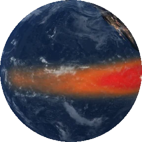 El Niño 2026–27The tropical Pacific is running 3.3 °C above normal (week of 4–10 October 2026).What past El Niño winters brought Britain →
 Nearby river gauges
Where this comes from. Reservoir data © the UK water companies, from their published reservoir-level reports and the Stream water-industry open data portal (CC BY 4.0). Thames Water London history via the London Datastore (Open Government Licence v2). Figures are exactly as published by Northumbrian Water — reporting day and
rounding vary. Levels older than 21 days are marked "last reported" rather than treated as current.